river · Wyoming
Grey Reef — North Platte River
Public river fishery in Wyoming. The record book is open — every verified catch here counts.
Directions open the approximate area of this water. Check access and parking before you go.
Water report521CFSVery low
Water reportat Orin45 min ago
521CFSVery low
Running very low for mid October. Above 9% of past October 15s on record.
565Typical range for October 151,620 CFS
3.49ftFull report ›
Grey Reef — North Platte River flows right now
521 cfs measured at Orin, 64.3 miles from the center of this water, read at 9:45 PM on Oct 15. That is in the 9th percentile for October 15 across 65 years of record. The median for this date is 844 cfs, and the driest tenth of years on record ran under 565 cfs. Last read 45 min ago.
Grey Reef — North Platte River fishing records
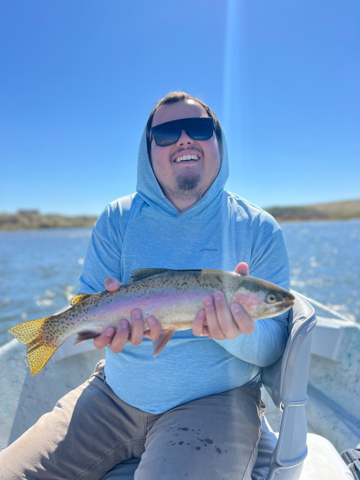
Grey Reef — North Platte River · All-Time RecordVerified Catch
16.4″
Records by species
Recent catches
Talk on this water
Ask →No questions or fishing reports here yet. Fished it lately? Twenty seconds of intel helps the next angler plan.Post a report
More Wyoming waters
About this gauge
Readings come from USGS monitoring location 06652000, NORTH PLATTE RIVER AT ORIN, WY, 64.3 miles from the center of Grey Reef — North Platte River. It reports discharge and gage height. Values refresh every 30 minutes and are provisional until the agency reviews them. Gauge readings describe the river at that point; conditions upstream and downstream will differ.
Fish Club protects exact catch locations by default. Records show the waterbody — never an angler's GPS pin.
Anglers must hold a valid fishing license for the state they're fishing. Always follow your local fishing rules and regulations. Handle fish with speed and care: wet hands, minimal air time, quick release.
© 2026 Fish Club LLC·Terms of Service·Privacy Policy·Competitions·Competition Rules·Support